by L. Lueken, Aug 28, 2025 in ClimateChangeDispatch
Rapid intensification of Hurricane Erin isn’t unusual, and attribution studies don’t prove climate change caused it.
The New York Times (NYT) published an article titled “How Climate Change Affects Hurricanes Like Erin,” in which they rely on rapid attribution analysis to claim that climate change is making rapidly intensifying hurricanes more likely, implying that the storm was worsened by global warming. This is false. [emphasis, links added]
Attribution studies are generally not based on solid scientific evidence and, therefore, not provable. Plus, there is a lack of evidence to support the notion that rapid intensification is becoming more common.
At the outset, the NYT claimed that hurricane Erin’s effects, such as they are, “are made worse by global warming,” even though the storm stayed offshore. The storm intensified quickly from a Category 1 to a Category 5 hurricane, and NYT claims that “[a]s the planet warms, scientists say that rapidly intensifying hurricanes are becoming ever more likely.”
First, it is important to note that just because a storm is among the most rapidly intensifying on record, it does not mean that there were not similar storms that went unrecorded.
As mentioned in a previous Climate Realism post about hurricane Erin, hurricane measurement technology is far advanced today than it was even a few decades ago.
Before the widespread use of Hurricane Hunter flights starting in the 70s where offshore storms were first closely monitored and directly measured throughout their lifespan, other rapidly intensifying storms would not have made the record.
So there is uncertainty about the record there.
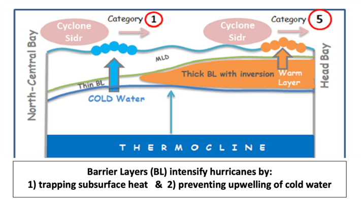
Beyond that, attribution researchers and the NYT would like to blame hurricane intensification all on warm sea surface temperatures, but rapid intensification occurs in response to a variety of factors lining up just right.
Similar claims were made two years ago concerning Hurricane Otis. That storm also intensified rapidly over a single day, turning into a Category 5 before hitting the west coast of Mexico.
Otis did not intensify under expected conditions; thunderstorm bursts that forecasters were unable to predict are now believed to have been responsible for its rapid intensification.
Just as some scientists say more intense storms are more likely with warming, other scientists say that they will become less likely to form or less likely to strike land.
The NYT neglected to mention these perspectives, focusing its story on the scarier opinions that support the narrative that climate change is responsible for worsening extreme weather events.
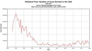
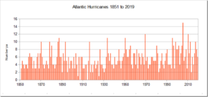
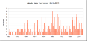
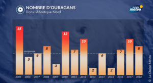
In fact, as Climate at A Glance: Hurricanes details, there is no data suggesting hurricanes are becoming more frequent or more intense.
…